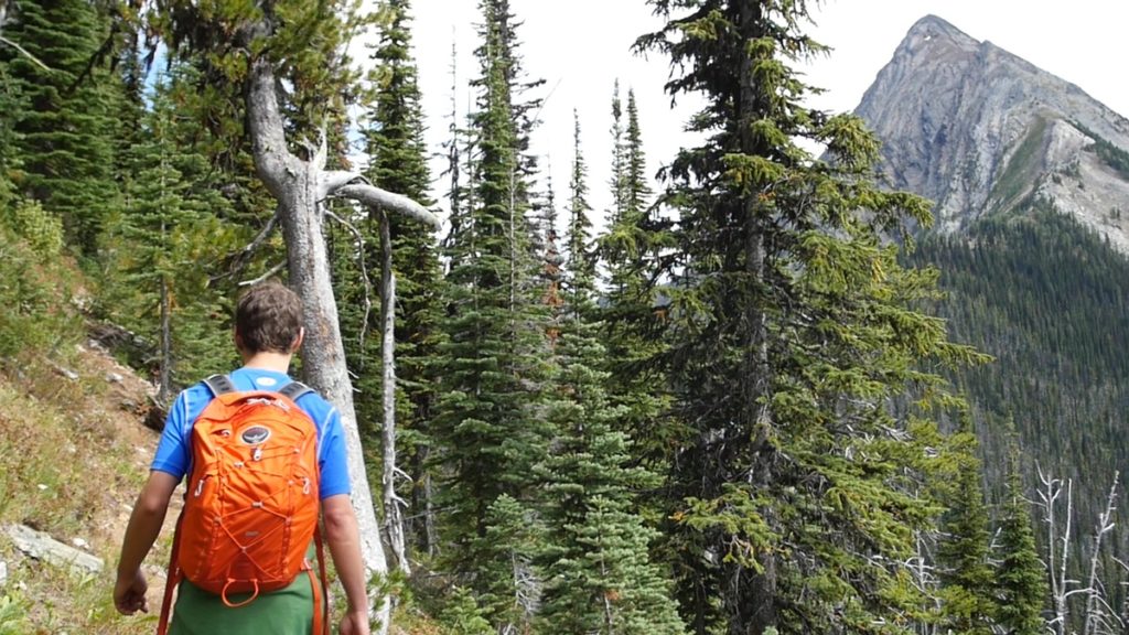
Mt. Loki
Access: Easy. Portman Road is a good 2WD road with minimal water bars; however, watch out for large rocks if you do not have a high-clearance vehicle. Beware of possible logging truck activity.
Rating: Moderate to challenging, depending upon your fitness level and how high you want to climb. The trail is well marked, though very steep at times, up to the summit ridge above the treeline. Reaching the peak requires scrambling with some exposure. If you are not a scrambler, the views are still well worth the effort. If you reach the top, prepare to be astounded.
Hiking Time: Allow 8-9 hours to return, though strong hikers will cut down on that time.
Water: None is available on the trail, so carry all that you will need. In summer, you should carry a minimum of 2 litres.
Driving: Drive north through the small town of Riondel along Eastman Ave. and continue along North Riondel Road. When you cross the bridge at Tam O’Shanter Creek, you will be on a gravel road, the Powder Creek Forest Service road. Set your trip odometer to zero. At .8 km keep straight past Chatter Creek Road. Pass the parking area for Pebble Beach on your left at 2.7 km. Ignore the right fork uphill at 3.1 km. You will cross a bridge at 4.3 km, and pass the Loki Creek North FS road at 5.3 km. Watch for Portman Road, where you will turn right at 6 km. This road is used for active logging and is subject to change (it has been lengthened in recent years.) The trailhead is 9 km up the Portman Road. Watch for the “Mt.Loki” sign made by helpful hikers. Give thanks to the Kaslo Trailblazers who made huge improvements on this trail a few years ago, making Loki much more accessible.
Hiking:
The trail is moderately steep for the first hour and later becomes an easier grade, passing through sub-alpine meadows. It then climbs very steeply to a saddle at 2100 metres (6900 ft.). The trail then follows the mountain contour ENE, with some down and up, reaching its end after about 2-3 hours of hiking.
From here, the hike is a scrambler’s delight, with many hand/foot holds on the layered rock (sometimes less than an inch wide). Loose rock requires caution and focus, as does the occasional exposure to 100-foot drops. There is no trail except for a few cairns marking a possible route.
The view from the peak is spectacular, at 2771 meters (9090 ft.) You can see well beyond the Sawtooth range to the east, and to the north beyond the Hamill Glacier. Most of Kootenay Lake is visible. The Woodbury community, drainage, and glacier can be seen entirely, as well as all of Kaslo, with Brennan/Whitewater mountains in the background. If you explore past the peak, you may find a ledge that overlooks a large, beautiful emerald-green lake, some 1000 m. below.

